
Sources Around a Sunrise Block
Official sources describe a block in separate layers. Broward's parcel map gives a repeatable definition of a neighbor: an adjoining mapped parcel. The tax roll identifies assessed owners, property traits, and mailing destinations. A requested voter extract may show registered people at nearby residence addresses as of the file date. Community groups publish contacts and meeting details, but not a verified roster of each household.
Choose the source by the fact sought. Use GIS for physical adjacency, BCPA for the assessed owner, Official Records for a recorded transfer, and the elections office for a dated public voter file. Sunrise Building or Code staff may hold address-based municipal activity, often through a request or older microfilm, but a permit applicant or complainant is not necessarily an occupant. Keeping roles and dates in the notes prevents a block list from becoming a set of unsupported assumptions.
| Block source | What it can establish | Access channel |
|---|---|---|
| BCPA Interactive Map | Parcel boundaries, adjoining shapes, folios and map layers | Free online viewer |
| BCPA Property Search | Assessed owner, situs, tax mailing, exemptions and legal description | Free address, owner, folio or subdivision search |
| Broward voter data | Dated public voter fields, subject to exemptions | Records request, not the personal status form |
| Central and East Sunrise groups | Meeting contacts and civic activity | Published group or city contact |
| Older phone directories | Historic listed subscribers near an address | Broward Main Library microfiche |
An owner can live elsewhere, and a renter may never appear on the parcel card. Even a homestead marker plus matching situs and mailing fields is only evidence of likely owner occupancy for a tax year. It does not name every adult or child. Use “nearby parcel owner” with the roll year, not “resident,” unless another lawful source supports residence.
Map Sunrise Neighbors by Shape
Street-number order can miss the real block. Sunrise has cul-de-sacs, canals, condominiums, irregular plats, and annexed land. A rear parcel may be closer than the next numbered home. The BCPA Interactive Map shows parcels and house numbers, lets users collect parcels, compare a grid, measure, and print. ZIP Codes and City Limits can be added for context.
Condominiums need extra care. One building outline may contain many folios, while common land can belong to an association. Select the unit record that matches the question and do not count a common-area parcel as a household. On a canal or golf-course edge, mapped boundaries also show why the nearest point on a street may not share land with the starting home.
Search with house number and street name, omitting direction and street type. Select the right match, zoom until parcel lines are clear, and click polygons rather than guessing an address sequence. Read each popup as parcel evidence. The appraisal field named “Neighborhood” is a value grouping, not proof of a civic association.
Collect Adjacent Sunrise Parcels
A sound block search starts with one confirmed parcel and expands one polygon at a time. That gives “neighbors” a precise meaning and makes the result repeatable.
- Search the map for the house number and street name. Confirm the situs and folio.
- Enable parcel and house-number layers. Click polygons sharing a side or rear boundary.
- Use Collect Parcels to record folio, owner, situs, and roll year without inferring occupancy.
- Open each parcel card and compare mailing, situs, homestead, legal subdivision, sales, and use.
- Add City Limits or ZIP when jurisdiction matters, then choose the correct permit custodian.
This method stops at the immediate block. The Sunrise street directory handles a full road and its repeated parcel-to-deed checks.
Sunrise Neighbors Cross Map Lines
A postal line saying Sunrise does not prove a parcel is in corporate Sunrise. ZIP areas route mail; city limits set municipal jurisdiction. Turn on both map layers and keep the folio visible. This is vital near annexed edges in western Broward. Verify the boundary before asking Sunrise for permits or code files. Broward remains the custodian for county land and deed records.
Sunrise began as a 1.75-square-mile planned village in 1961, took its current name in 1971, and expanded through annexation to more than 18 square miles. The growth explains why blocks do not form one neat historic grid. Parcel polygons show side and rear adjacency that street numbers hide.
Map terms. A parcel is one mapped land unit; a folio is Broward's identifier for that unit.
Voter Data Near Sunrise Neighbors
Broward's voter-status portal is identity-gated and intended for an individual's own check. It is not a public street roster. The Supervisor of Elections offers a separate Records and Data request channel. A public extract can be sorted by street after lawful receipt, and the office charges $20 for a voter database extract.
Florida Statutes sections 97.0585 and 98.045 govern voter data. Identity numbers, registration source, some agency-location data, and protected addresses stay confidential. A nearby entry means registered at that residence when the file was produced. It does not reveal ballot choice, prove current presence, or list nonvoters.
Sunrise Neighborhood Contact Layer
Central and East Sunrise resident groups publish meeting contacts, not member directories. City Neighborhood Programs works through local organizations and homeowners associations, but no complete citywide member roster was verified. Public contacts can introduce a civic group. They do not establish who belongs or lives at each home.
| Local layer | What is public | Limit |
|---|---|---|
| Central Sunrise group | Meeting and area contact | No verified household directory |
| East Sunrise group | Civic contact and updates | Participation is voluntary |
| Neighborhood Programs | Links to groups and HOAs | No complete membership list |
| Neighborhood Watch | Safety coordination | Participants are not a resident roll |
Utility, delivery, congregation, private watch, and HOA membership data do not become public just because a group exists. Chamber listings describe businesses, not residential neighbors.
Official Sunrise Rolls and Compilations
Official records are narrow but have a known source. A parcel card supports an assessed-owner statement. A deed supports a transfer. A dated voter extract supports a registration entry subject to exemptions. Commercial neighbor compilations may merge old addresses, phones, and names without clear dates.
Official block records
Best for boundaries, assessed ownership, recorded instruments, and dated public fields. Preserve the roll year or instrument date.
Commercial compilations
Useful only as leads. They can be stale or misjoined and do not prove that a person occupies an address.
If a portal fails, use the same custodian's counter, phone, or request channel. A less transparent compilation does not make the evidence stronger.
Official Safety Context for Sunrise
The FDLE Sexual Offenders and Predators Search has official name and neighborhood-radius modes. Its captured page shows the state search used for a geographic query.
The Broward Sheriff Booking Blotter provides a separate official arrest search. Its captured page shows the county interface.
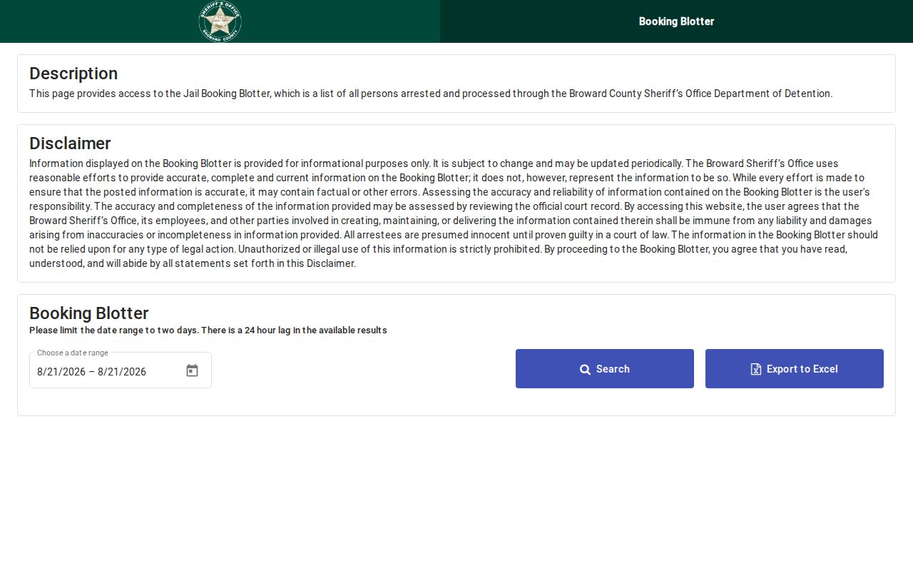
An arrest is not a conviction, and a shared name is not proof of identity. A registry match also says nothing about unrelated Sunrise neighbors.
For a separate statewide custody check, use the official Florida Department of Corrections Offender Search. Its captured form is a state corrections source, not a directory of people living on a Sunrise block.
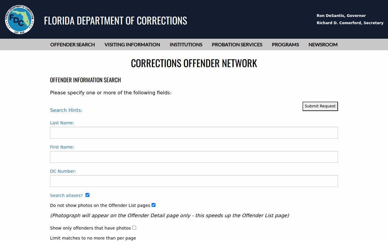
A custody result must be matched by its official identifiers and dates. It does not establish current residence or describe anyone else nearby.
Privacy Limits for Sunrise Neighbors
Public parcels do not make private homes transparent. Renters, children, roomers, and unlisted users may not appear. Florida's Address Confidentiality Program under sections 741.401 through 741.465 provides substitute addresses for qualifying victims. Section 119.071 and related laws protect other specified people and fields. Sealed files and restricted identity numbers remain closed.
Absence may result from nonregistration, protection, a lagging roll, a trust owner, or an unlisted phone. It cannot prove a home is empty. A tax mailing address or company agent address is not automatically a residence.
Condominiums, canals, cul-de-sacs, and irregular plats make street order a poor substitute for mapped adjacency. Two house numbers that look consecutive may not share a boundary, while a rear parcel may be a true neighbor. Save the BCPA folio, situs, legal description, and displayed tax year for each selected polygon. Label each person only by the relationship the source proves, such as assessed owner, registered voter in a dated extract, or officer on a filed business record. The appraisal system's Neighborhood field is a valuation grouping; it is not the name of a civic group and does not establish that owners belong to an association. That discipline keeps a block search useful without turning property evidence into unsupported claims about private households.
Lawful use. Use block records for civic awareness, reconnecting, or personal safety. Never watch, intimidate, stalk, harass, or harm Sunrise neighbors.